Lost Coast Loop 9/4
Posted: Thu Sep 05, 2013 12:11 pm
One of the great day rides in my area. The coast is lost because the state highways 1 and 101 are nowhere near the water for this stretch. GS riders can continue South, staying near the coast on the (seasonal dirt) Usal road all the way to Hwy 1 in Rockport.
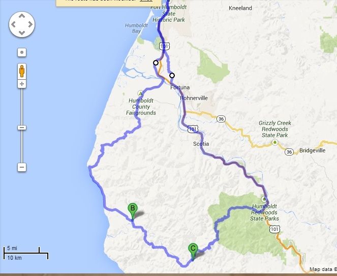
I hadn't seen this feature before--hit this link, and then hit the button that says "3D" next to "Driving Directions...."
https://maps.google.com/maps?q=fernbrid ... CAgQ_AUoAg
I think it gives a good representation of the experience, although I'd prefer the horizon to tilt in the corners. It may not run well or at all on dial-up.
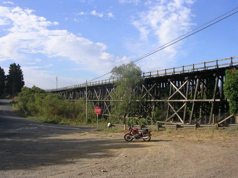
On the way there, one of the largest remaining RR structures left around here, 15+ years after the trains quit running:
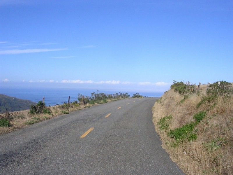
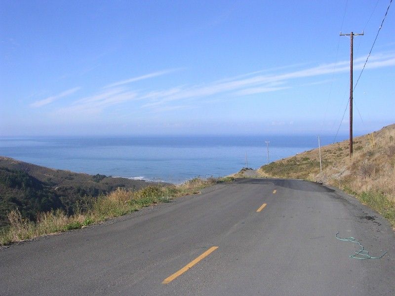
And a couple of many places in the first section of twisties where you realize you're at the edge of the known world:
When we checked out melvilleville 15 years ago, looking to move here, I rode my bicycle up and over these hills whilst Muriel drove around the other way in our Beetle to meet me. It was an amazing day, with the sun and the hailstones hitting me simultaneously at times. I was sold on the area after that ride, knowing this would be where we would spend the rest of our lives.
After that first section, one tumbles to the coast and can see the westernmost part of California, Cape Mendocino:
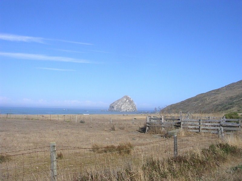
And here my focus shifted, as it was time to nab a few geocaches. I think these are public geocaches (that you all can see), we are 'humspuds' when we geocache:
http://www.geocaching.com/geocache/GC3M ... cd94c3c0cc
http://www.geocaching.com/geocache/GC3P ... e298e70607
http://www.geocaching.com/geocache/GC41 ... 732b2564cd
While getting that third cache, a C130 flew overhead. Truly impressive, as the NorHum dope growers don't use anything bigger than a single engine Cessna.
Then rolling on to Honeydew, where they have this great bridge:
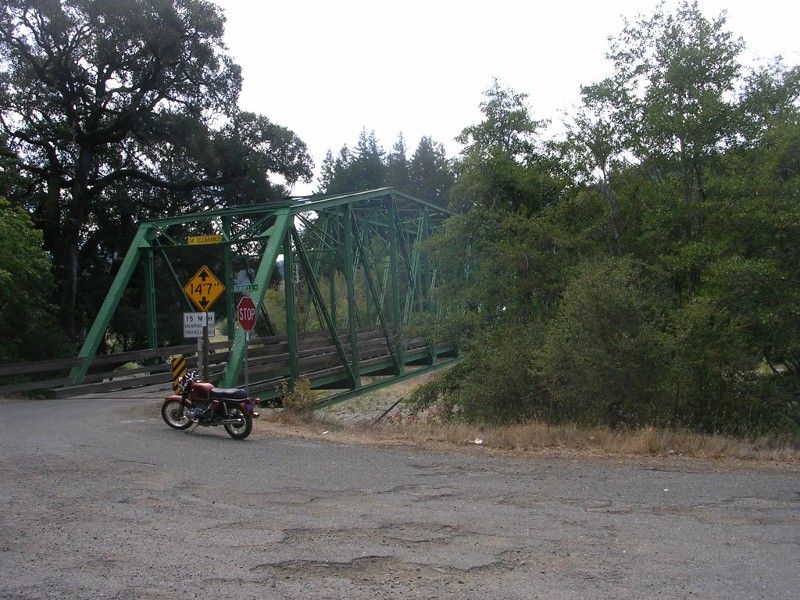
With that mischief managed, it was time to move on. Again, hit the '3D' button for some fun:
https://maps.google.com/maps?q=petrolia ... CAgQ_AUoAg
All that riding and geocaching made me hungry, but a solution was soon at hand:
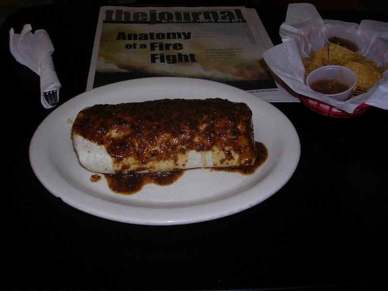
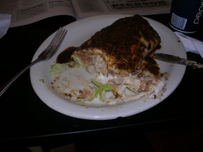
'Twas a Super, chicken, 'hot' salsa. Really hit the spot. From here:
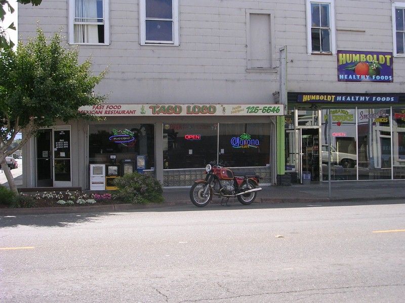
A great day out, it was. Then I got home and El Kombi was gone. Seems Muriel rented a kayak and went out by herself yesterday, even deigning to drive a very loud Kombi to make it happen. She had a great time, taking a rising bay tide up a slough, and lingering at the peak, then riding the declining tide back to where she put in. I predict that our next round of hookers 'n' blow money will be spent on boats and such.

I hadn't seen this feature before--hit this link, and then hit the button that says "3D" next to "Driving Directions...."
https://maps.google.com/maps?q=fernbrid ... CAgQ_AUoAg
I think it gives a good representation of the experience, although I'd prefer the horizon to tilt in the corners. It may not run well or at all on dial-up.
On the way there, one of the largest remaining RR structures left around here, 15+ years after the trains quit running:

And a couple of many places in the first section of twisties where you realize you're at the edge of the known world:


When we checked out melvilleville 15 years ago, looking to move here, I rode my bicycle up and over these hills whilst Muriel drove around the other way in our Beetle to meet me. It was an amazing day, with the sun and the hailstones hitting me simultaneously at times. I was sold on the area after that ride, knowing this would be where we would spend the rest of our lives.
After that first section, one tumbles to the coast and can see the westernmost part of California, Cape Mendocino:

And here my focus shifted, as it was time to nab a few geocaches. I think these are public geocaches (that you all can see), we are 'humspuds' when we geocache:
http://www.geocaching.com/geocache/GC3M ... cd94c3c0cc
http://www.geocaching.com/geocache/GC3P ... e298e70607
http://www.geocaching.com/geocache/GC41 ... 732b2564cd
While getting that third cache, a C130 flew overhead. Truly impressive, as the NorHum dope growers don't use anything bigger than a single engine Cessna.
Then rolling on to Honeydew, where they have this great bridge:

With that mischief managed, it was time to move on. Again, hit the '3D' button for some fun:
https://maps.google.com/maps?q=petrolia ... CAgQ_AUoAg
All that riding and geocaching made me hungry, but a solution was soon at hand:


'Twas a Super, chicken, 'hot' salsa. Really hit the spot. From here:

A great day out, it was. Then I got home and El Kombi was gone. Seems Muriel rented a kayak and went out by herself yesterday, even deigning to drive a very loud Kombi to make it happen. She had a great time, taking a rising bay tide up a slough, and lingering at the peak, then riding the declining tide back to where she put in. I predict that our next round of hookers 'n' blow money will be spent on boats and such.